Places
Share Places on Facebook
Share Places on X (formerly Twitter)
Share Places on Linkedin
Email Places link

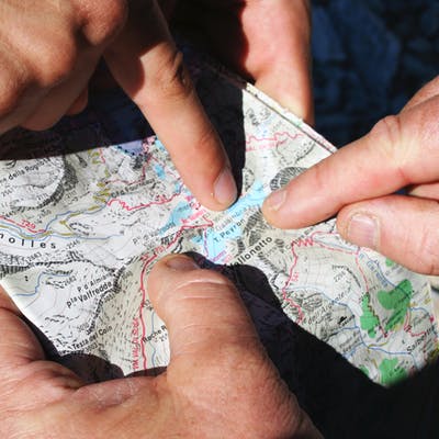
eHQ Places allows you to gather feedback and photos directly on a map with a simple “pin” drop.
Geospatial maps offer participants a fun way to engage and see their contribution on a map and are a great way to capture community input about places and spaces, however large or small.
And they don't have to be boring!
- Your community can show places they love, places where they play or places where wildlife inhabit.
They can also be revealing!
- Your community can show you places where they feel are unsafe, places where transport or traffic is a problem, , places that need improving or provide feedback on places that where development, revitalisation or regeneration is planned.
Places is the perfect tool for consultations where you would like to investigate community views about specific location.

Page last updated: 15 May 2026, 06:29 AM
Photos

Who's listening
-

Email casey@bangthetable.com